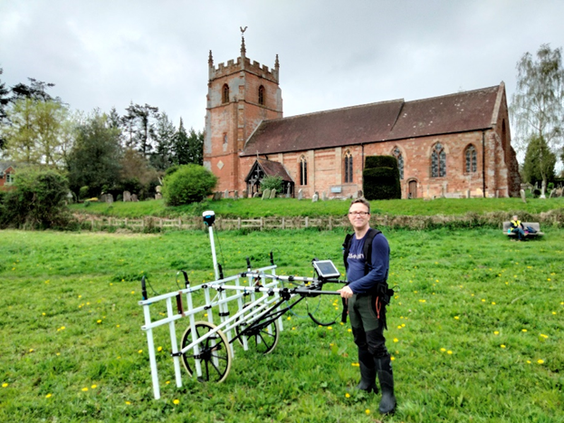
This week NWAG were assisted by James Barnes (Metrology UK), who helped us do a geophysical survey of two of the sites we excavated in 2023.
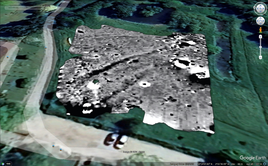
While our search last year for the Poor House at Martley’s Millennium Green produced a lot of building material, we did not manage to locate any of the buildings shown on 18th-century maps. So James set to work surveying the area in the north-west of the field, where a long building (possibly the Poor House?) was shown on old maps, and extended the search to the areas further east and south, towards a large pond.
The results of James’ magnetometry survey have been superimposed on a satellite image of the site, which you can see below. The dark splodges include some features of archaeological interest, including the area in the foreground – where buildings are shown on old maps – as well as the linear features running from north-west to south-east, which might belong to old ditches or enclosures.
James also brought his equipment to the Old Vicarage in Wichenford, and surveyed an area parallel to Venn Lane, where old maps also suggest that buildings were located. The south-west of the survey area runs near to the site of last year’s Trench 2, where we found around 80 sherds of medieval pottery in a small, concentrated area. The team wanted to excavate it further, but only if the results of the geophys looked promising. And, according to James’ results, it does!
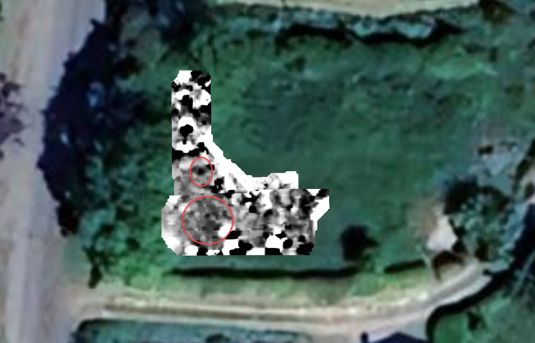
While the survey picked up a lot of ferrous noise, the areas circled in red include some interesting round features, which merit further investigation.
All of this is very encouraging for the NWAG team! As ever, we’re grateful to all of the landowners for letting us continue our investigations, and of course to James Barnes and his magnificent machine for helping to reveal these features.